View Passaic: Great Falls upstream in a larger map
| Drainage area: | 762 mi2 |
| Discharge: | 1140 cfs |
| Stage: | 2.55 ft |
| Date: | 2012-01-22 07:30:00 |
| Flood stage: | 7 ft |
| Percentile: | 56.82 % |
| Class symbol: |  |
| % normal (median): | 118.75 % |
| % normal (mean): | 85.60 % |
Conditions
Temperature -4 C Wind Chill - C
Winds NE 10kph
A chilly day, a shortened paddle due to the current strength , but an unexpected discovery- Great Falls, a seriously impresive set of falls , just downstream from the launch.
The Falls
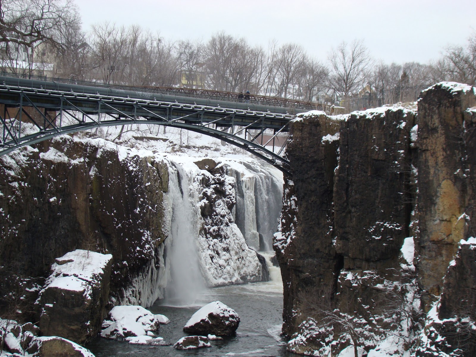 |
| Great Falls looking upstream |
 |
| Great Falls looking downstream |
 |
| I launched from this landing |

 |
| Pavilion on banks |
 |
| Detail of pavilion |
 |
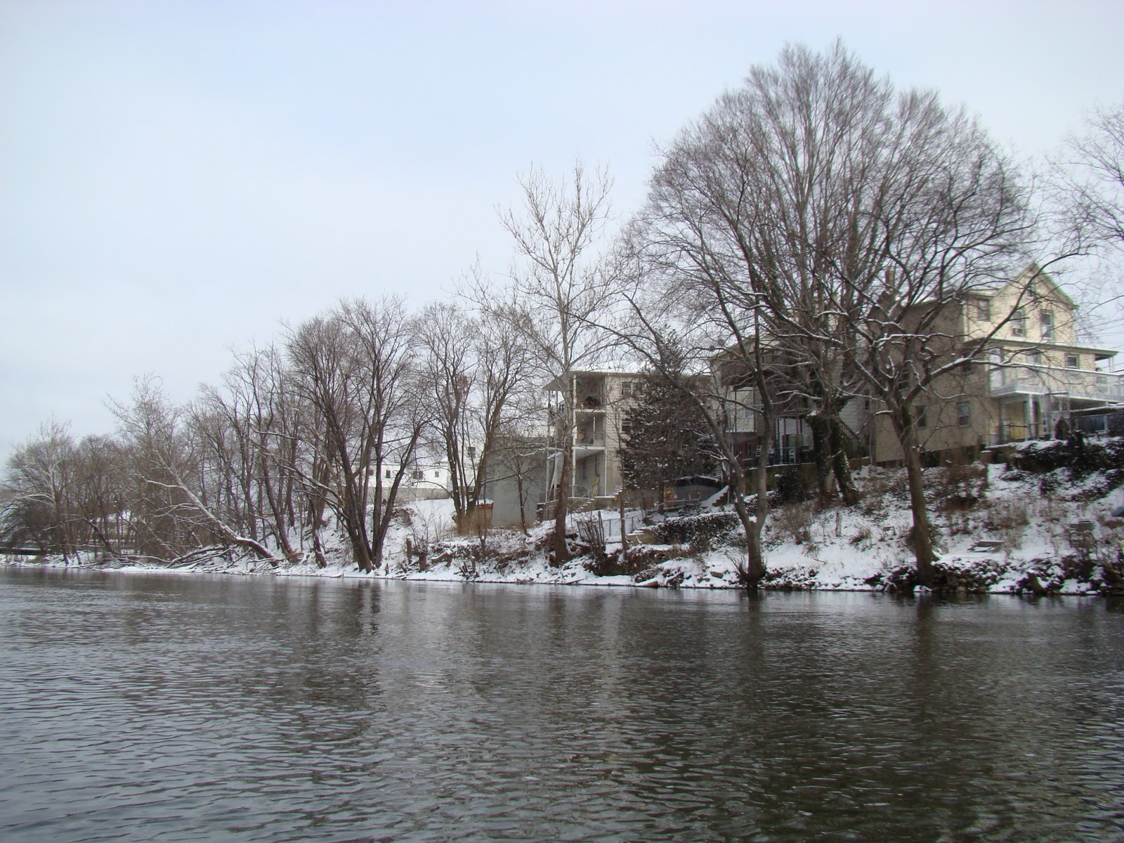
| A little upstream from here, on the bend, the current grew too strong to make headway Too much snow on the banks for portaging, so this is where I turned around. |

 |
| Adjacent to the launch- another pavilion |
 |
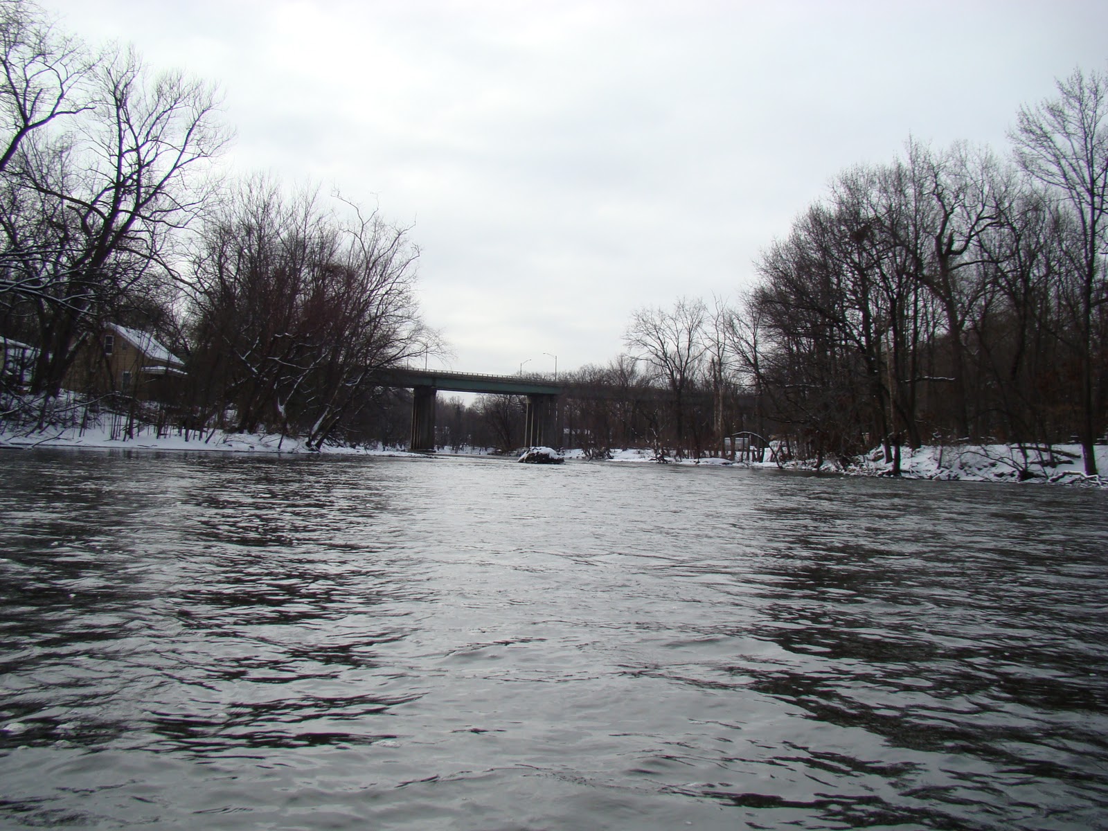
| The falls are just past this bridge |
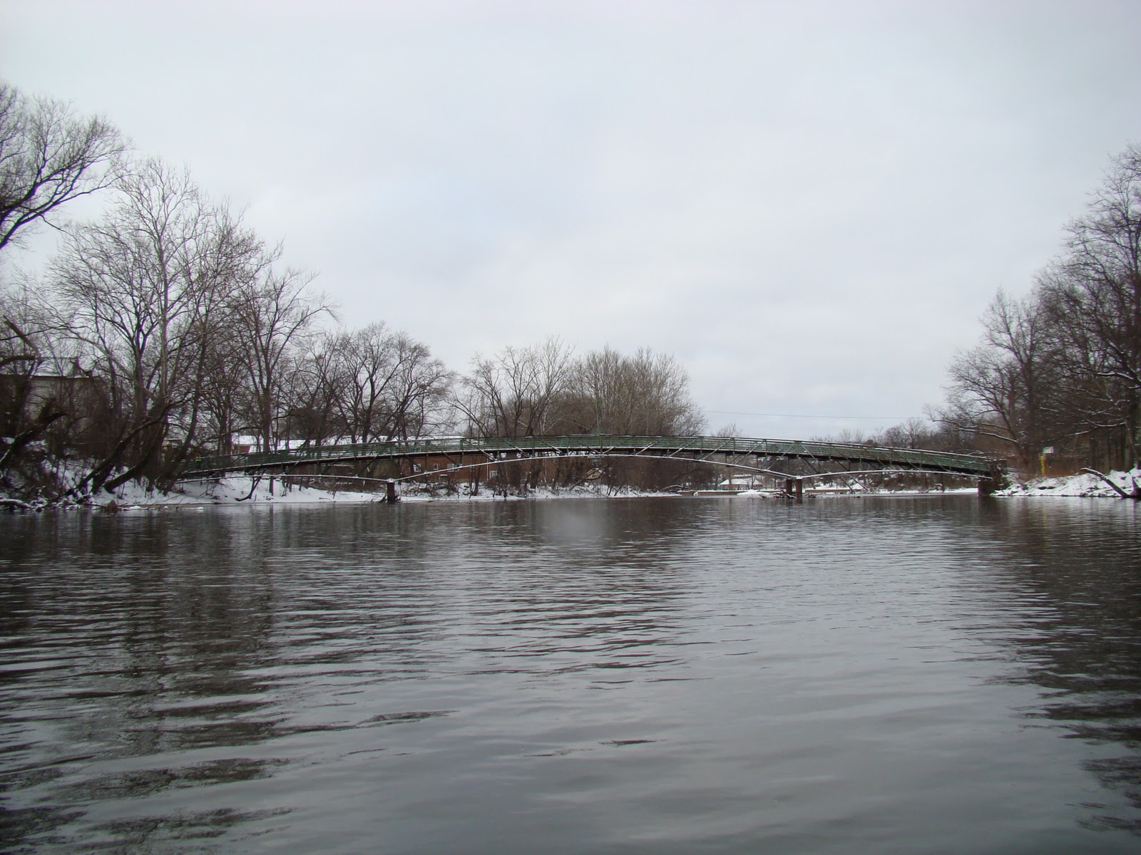 |
| Footbridge |
 |
| Ice build up on my paddle on return to the landing |
 |
| Back on land- ready for the Giant's game tonight! |