View Passaic River Dec 25th 2011 in a larger map
Christmas Day 2011. Moderately cold = around 0C. Light winds.
Put in at the 2nd of the two bridges I came to on Two Bridges Rd. Fairfield NJ.
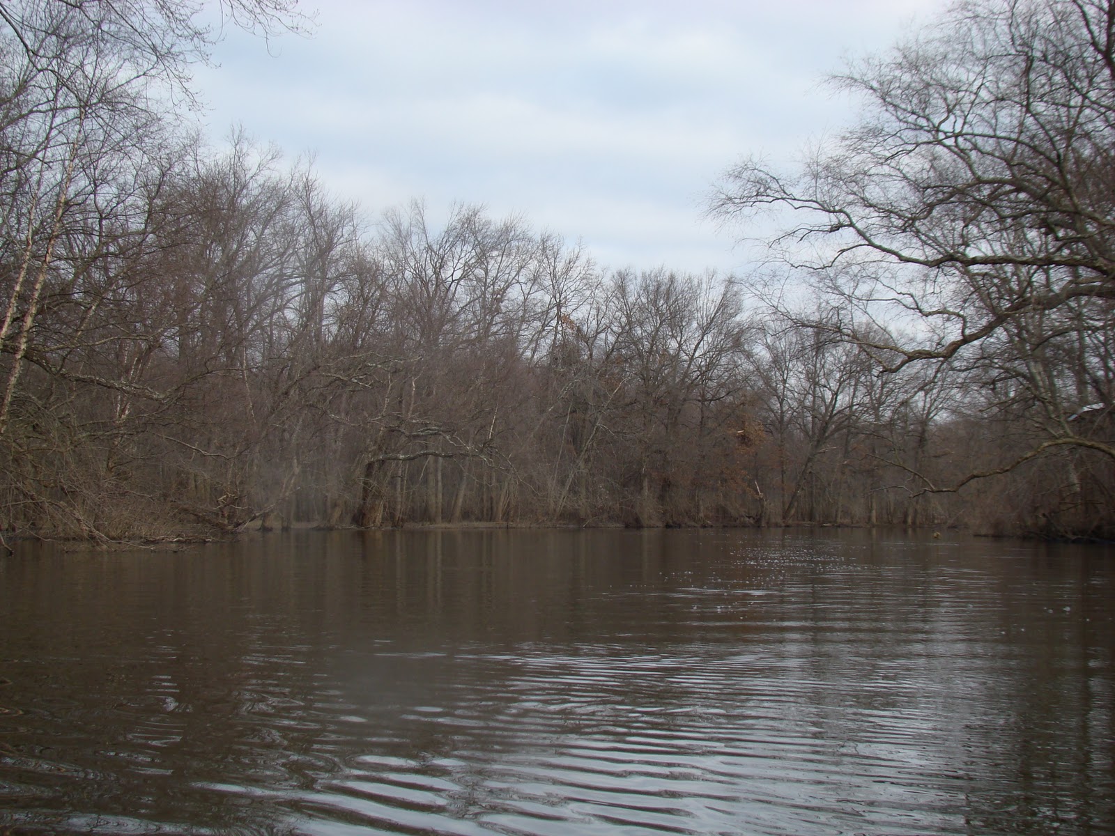
There was no ramp, just a track and a steepish bank- The water is still relatively high, but the backwaters and lagoons are starting to freeze over.
 |
| The winter season is starting to grow on me. Where once everything looked dead to me , now it just looks like winter . I like that I can see the actually see the topography; the lay of the land. |
 |
| The backwaters are beginning to ice up. |
 |
| Even stone chooks get me hankering after them. Life without them is not ideal(real ones that is, not stone ones) . |
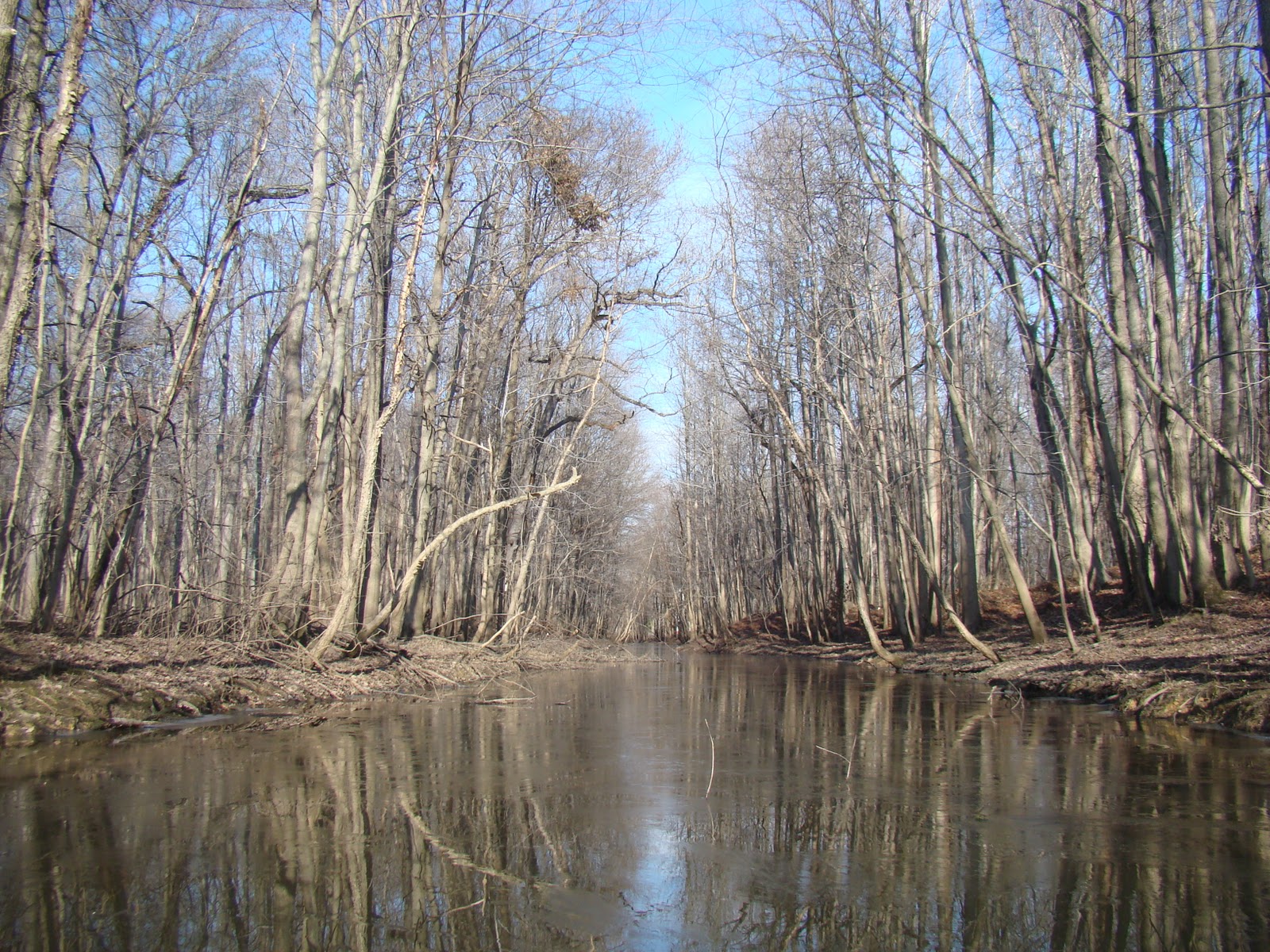 |
| One of many small tributaries. |


 |
| Housing that has seen better days. This section of houses on the river bank are very low; I imagine that they sustained extensive flood damage in the wake of Irene and subsequent flooding. |
 |
| This cute little cabin |
 |
| A work in progress. |
 |
| I fixer-upper that didn't quite get fixed upped. |

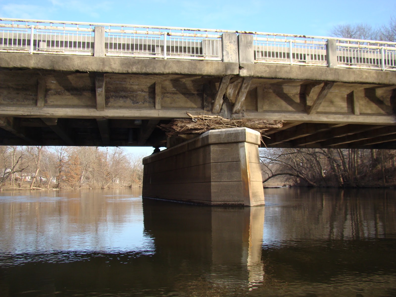 |
| One of the two bridges at Two Bridges Rd. You can get an idea of the flood height by the debris . |
 |
| The other... |
 |
| The launch site is just beyond the bridge on the left/ |
The Passaic is New Jersey's most polluted river. Up stream here, it actually looks pretty good...would not drink the water though.