View Passaic Route 510- north and south Jan 14th 2012 in a larger map
WEATHER
Temp 32F 0C (Windchill 20F -7C)
Wind NW 13 mph (20kph) Gusts up to (22mph) 28 kph
USGS 01381900 Passaic River at Pine Brook NJ
| Drainage area: | 349 mi2 |
| Discharge: | 1140 cfs |
| Stage: | 16.59 ft |
| Date: | 2012-01-14 06:00:00 |
| Flood stage: | 19 ft |
| Percentile: | 85.82 % |
| Class symbol: |  |
| % normal (median): | 220.50 % |
| % normal (mean): | 178.69 % |
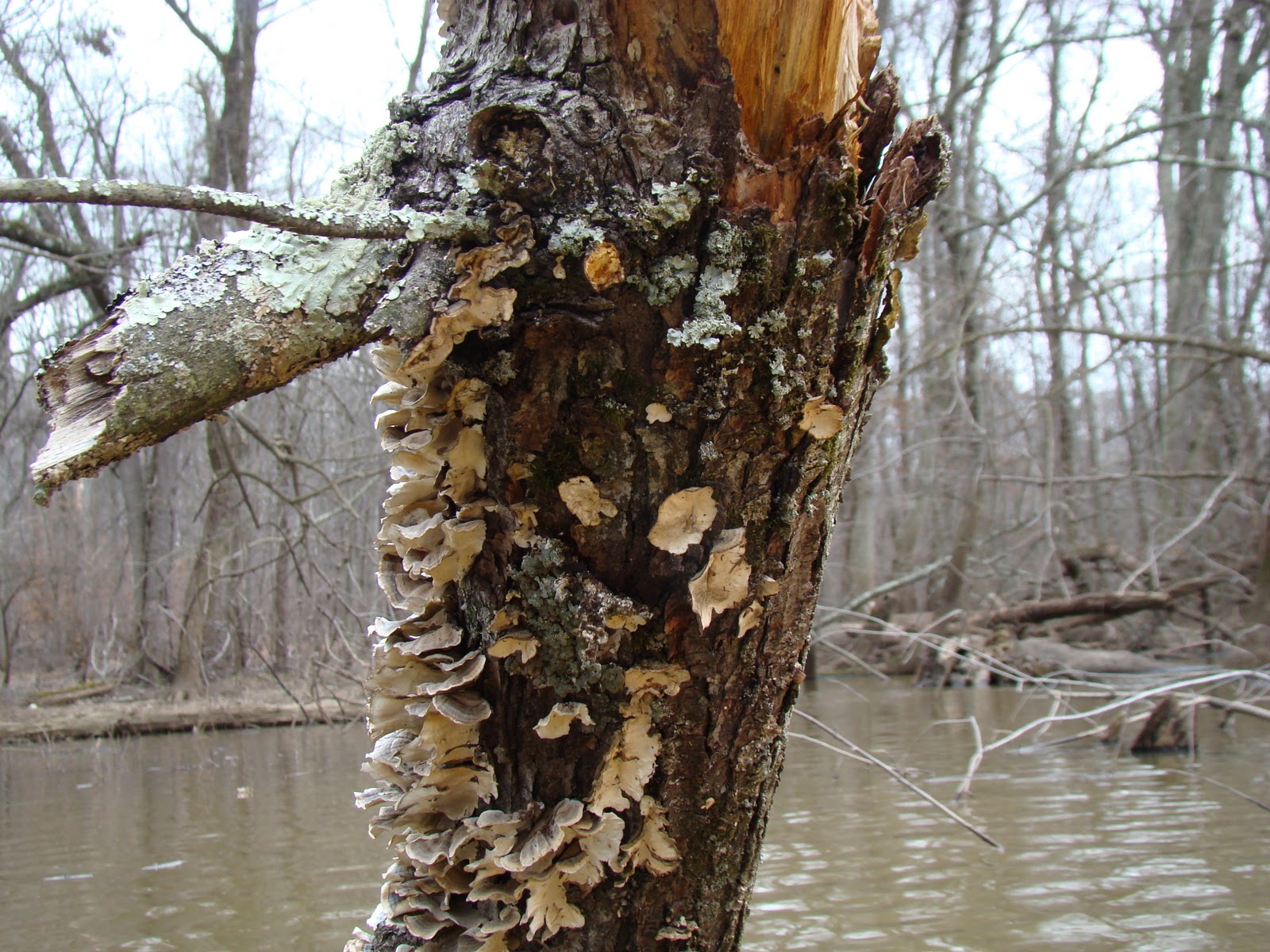
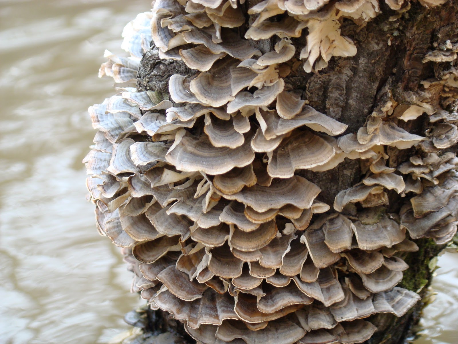
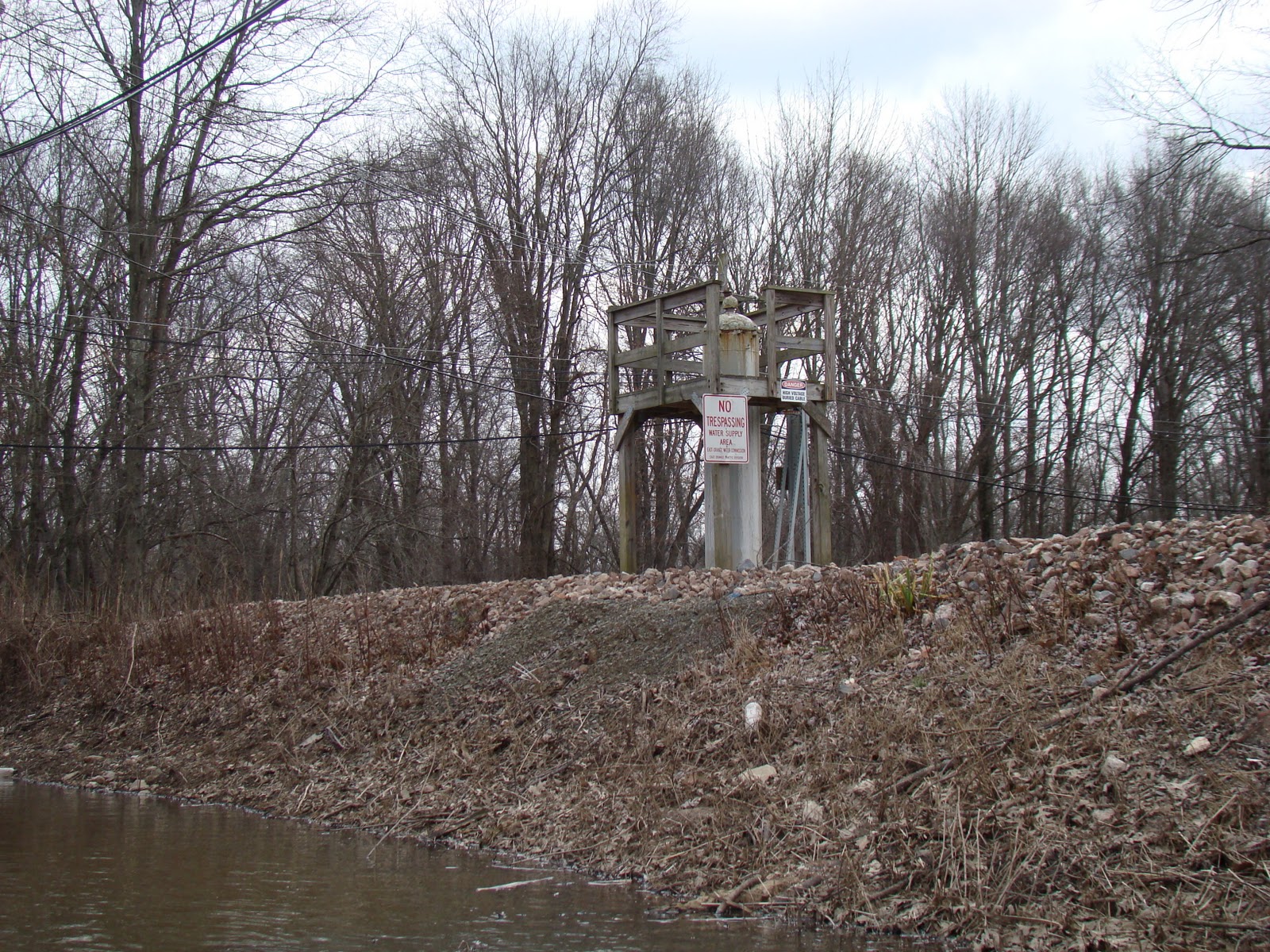
Last time I did this paddle I lost the main channel. Today I had the GPS out and carefully paddled looking for it. The whole area is inundated, and the main channel should have been to the west, but I couldn't paddle over very shallow areas to see if was really there. - so a repeat performance of "What happened to the river?" Could the Google map be right off ?.. or just me?


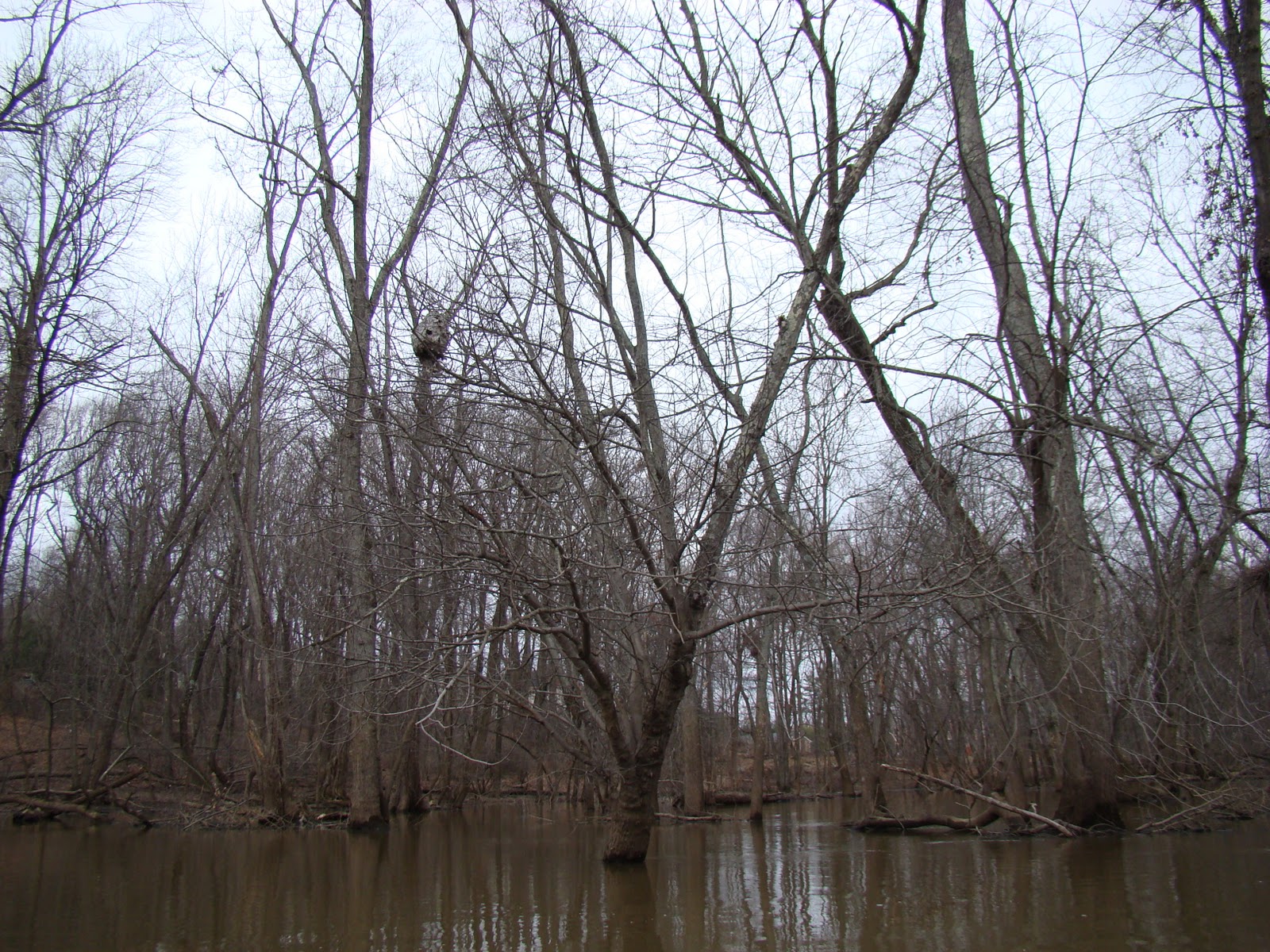 |
| Bird nest |
 |
| Close up of nest |